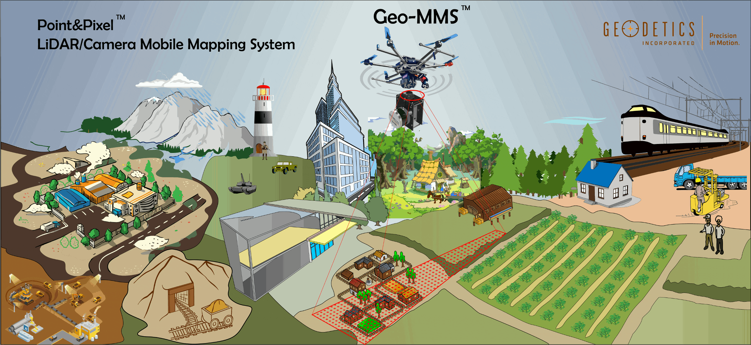
Fully Integrated LiDAR Drone Mapping Systems With Best Price/Performance Value in the Market
Geo-MMS LiDAR Tactical 8
Geo-MMS LiDAR Tactical 16
Geo-MMS LiDAR Tactical 32
Geo-MMS LiDAR 32C
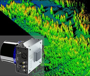
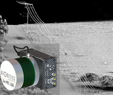
Survey-grade system that can fly at the mid-range of Part 107 limitations. Applications include agriculture, forestry, powerline inspection, exploring quarries and mines, and tower mapping.
Geo-MMS LiDAR LR
UAV and Vehicle Mounting Platforms
Cost Effective Ready-to-Fly
Compatible with Tactical and Mid-Range LiDAR Systems
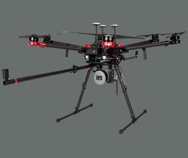
DJI Matrice 600 Pro, easy assembly and flight, powered by battery with a total payload weight of ~ 2.7 kg (6 lbs.), including Navigator, LiDAR sensor, Camera (single or dual), a 2m-GPS boom, and mounting assembly.
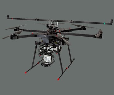
Heavy-Lift Hybrid
Compatible with mid and long-range LiDAR systems
Powered by a hybrid engine (Gas, Battery) with a total payload weight of ~ 2.7 kg (6 lbs.), including Navigator, LiDAR, Camera (single, dual), a 2m-GPS boom, and mounting assembly. Proudly made in the U.S.A.
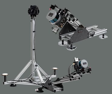
Geo-MMS Vehicle Platforms
The vehicle-mounted assembly provides two degrees of freedom, enabling operations on ground-based vehicles regardless of orientation and height
See Geo-MMS LiDAR in Action
Significant Cost Savings in Data Collection Across a Wide Range of Industries
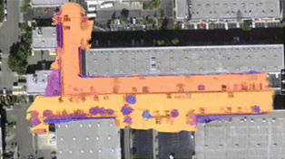
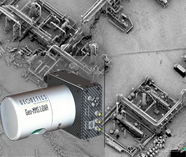
Infrastructure

Urban Planning
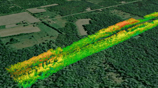
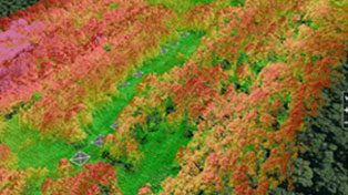
Forestry

Construction
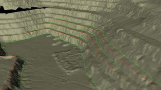
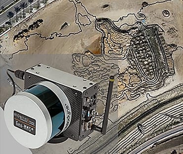
Mining
Agriculture
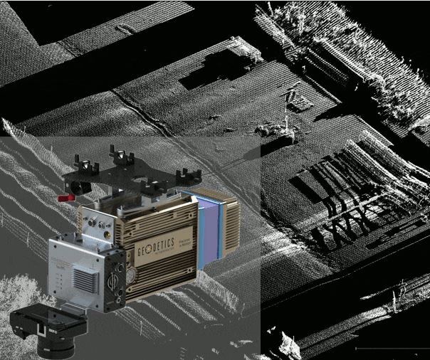
Real-Time LiDAR Point Density Visualization
Planning
Flying
Mapping
Post-Processing