Applications for Land, Air and Sea
LiDAR Mapping
UAV-Based Mapping Solutions
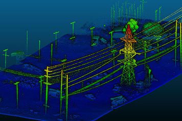
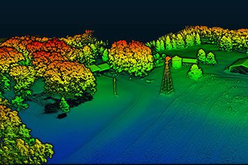
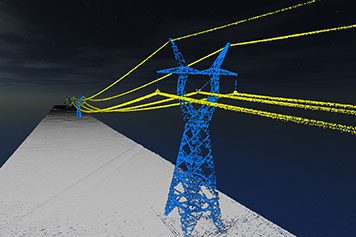
Powerline Mapping
Powerline and corridor mapping to support safe electrical utility operations
Land Surveying
Survey-grade LiDAR mapping to support traditional land surveying and terrestrial laser scanning
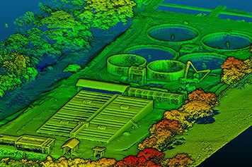
Civil Engineering
Aerial topographic mapping to support construction and infrastructure expansion efforts
Research
Geoscientific and coastal erosion studies, ecosystem and archaeological research, etc.
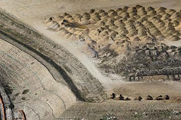
Mining
Surface/volumetric calculations and underground inspection/mapping for efficient operations
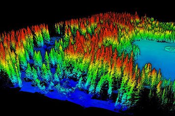
Environmental
Forestry and agriculture analytics, fire prevention, wine growing, etc.
Ground-Based Mapping Solutions
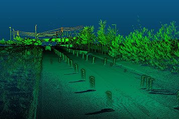
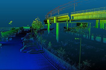
Transport Infrastructure
Road and highway surveying with single or dual mobile laser scanners
Corridor Mapping
Rapid data acquisition across long continuous routes of powerlines, pipelines, etc.
Asset Management
Mapping roadside infrastructure, bridges, tunnels, encroaching vegetation, etc.
Assured Position, Navigation & Timing (A-PNT)
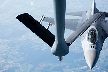
Aerial Refueling

Shipboard Landing
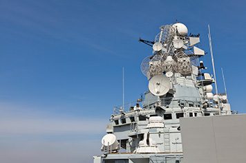
Antenna Pointing

Aerial Combat Training

Dismounted Soldier

Relative Navigation
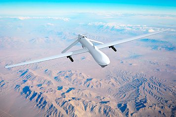
Unmanned Aerial Vehicle
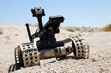
Unmanned Ground Vehicle
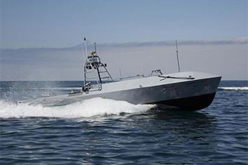
Unmanned Surface Vehicle
