Bridging the Gap Between Drone Based (UAV) LiDAR Point Clouds and RGB cameras
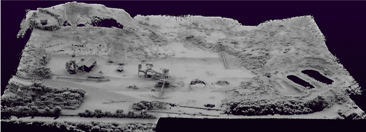
For several years, surveyors, environmentalists, archaeologists and similar industries have been saving time and money by leveraging the capabilities of Geodetics’ Geo-MMS LiDAR drone based mobile mapping system. Through the advancement of technologies in UAV LiDAR mobile mapping systems which output LAS files they enable their users to create DEM/DTM/DSM (surface models), geospatially corrected aerial images, 3D building models, contour maps, planimetric features and volumetric surveys – just to name a few applications.

Geodetics Mobile Mapping System LiDAR
Geo-Photomap, Geodetics newly launched product, integrates GPS/IMU with RGB imagery, generating GCP-free direct geo-referencing with significantly reduced side lap, i.e., more coverage in less time.
Each product offers different capabilities, Geo-MMS LiDAR provides point clouds with DTM/DSM generation and foliage/canopy penetration. Geo-Photomap delivers GCP-Free photogrammetry with minimal overlap, image attitude and time geo-tagged images enabling corridor-vertical mapping.

Geodetics Geo MMS Photomap
Both products offer quality imagery, but with the development of Point&Pixel™, Geodetics’ has managed to bridge the gap between LiDAR and photogrammetry. Geodetics’ Point&Pixel™ is a new drone based mobile mapping system that integrates LiDAR point clouds with RGB imagery resulting in stunning colorized point clouds.
Geodetics Geo MMS Point&Pixel
Geodetics’ brand-new product Geo-MMS Point&Pixel™ enables accurate colorization of the LiDAR point cloud using synchronously captured RGB images from a camera during the same flight as the LiDAR scanning collection. Using Geodetics’ industry leading approach, you can quickly create colorized point clouds without requiring multiple overflights of an area or different scan patterns. Just think of the capabilities and opportunities this level of technology provides.
